detecting puffin poo from space in order to track bird colonies, nest site occupation and extent, occupation use, population viability growth or collapse. Also see mapping guano from space.
An article that discusses the background to the need for this kind of research - https://www.nationalgeographic.com/news/2014/8/140827-seabird-puffin-tern-iceland-ocean-climate-change-science-winged-warning/
Is it possible to use satellite imaging for detecting and surveying bat habitats and flyways from space?
How is satellite imaging used for mapping bird migration routes and correlation with en-route recovery habitats, forest and wetlands?
Correlating areal photography, satellite imaging, with ground survey to measure bog extents, health and regeneration.
Mapping connected terrestrial ground cover, wetlands, wilderness and forest habitats from space.
Identifying disconnected habitats, mapping micro to macro fragmentation of biosphere due to human barrier interventions from paths to roads, walls, through to cities and mega engineering projects.
Detecting greenhouse gas emission sources. Remote detection of environmental methane outgassing events and satellite observations of ground based methane sources from industrial sites.
Articles discussing this topic:
https://visibleearth.nasa.gov/images/88245/imaging-a-methane-leak-from-space
https://www.forbes.com/sites/scottcarpenter/2019/11/27/detection-of-methane-leak-from-space-could-herald-a-revolution/
https://www.nytimes.com/2019/12/16/climate/methane-leak-satellite.html
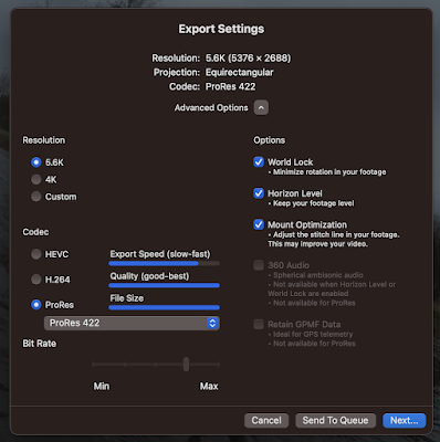
Sharing 360° video?
So, you've got a 360 degree video file from your GoPro. What to do with it? Well, share it on YouTube. YouTube supports uploading and pl...

-
So, you've got a 360 degree video file from your GoPro. What to do with it? Well, share it on YouTube. YouTube supports uploading and pl...
-
(CTAN, a meta-level resource for all things TeX www.ctan.org/ ) Step 1: MacTeX packages for Mac. Install MacTeX, after which do the foll...
-
First, read the article "AI-generated art illustrates another problem with technology" by John Naughton on the Guardian (20 Aug...
